6:30 AMBest window
Low risk
Cooler start
 DriveWindow
Route weather planner
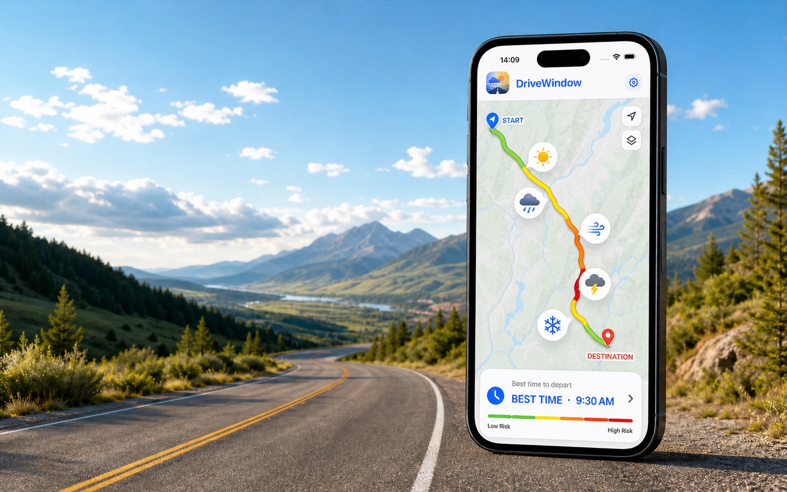
DriveWindow combines traffic-aware route timing with weather along the drive, then compares departure options so you can choose a better window.
Example route weather
Illustrative examples, not current forecasts. Plan your own route and departure time in the app.
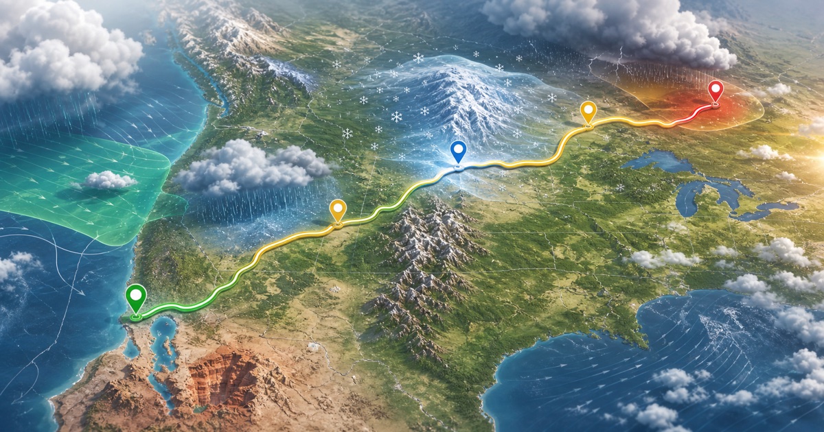
Available on the App Store. Enter your route and travel date in the app.
Spring and fall often bring fast-changing coastal systems. Winter drives need extra attention to freezing rain and snow timing. Key weather factors: coastal rain bands, gusty wind near exposed bridges, fog and low visibility in southern New England.
Example departure comparison
Compare the weather along the full corridor, not only at the destination.
Cooler start
Crosswinds building
Heat and storm outflow
DriveWindow
Compare departure times for the same route
Review low, moderate, high, or very high route risk
Check rain, snow, wind, visibility, ice risk, night driving, and alerts
Save trips, refresh forecasts, set reminders, share summaries, and add drives to Calendar
Inside the app
The DriveWindow app turns the same route-weather idea into a trip workflow with saved forecasts, reminders, maps, and vehicle-aware risk checks.
Check route weather at the time you will reach each segment. Compare departure windows for rain, wind, snow, visibility, freezing risk, and alerts.
Road trip weather Road trip weather for your route and departure timeRoad trip weather planner for the full route. Compare departure times, weather along the drive, rain, snow, wind, visibility, and alerts before you leave.
Route weather planner See the weather ahead. Choose when to leave.Route weather planner for drivers: compare weather along your drive by segment and departure window, with rain, snow, wind, visibility, ice risk, and alerts.
Highway weather Highway weather checks before you leaveCheck highway weather risk for rain, snow, wind, visibility, freezing conditions, night driving, and alerts before a long drive.
Winter driving Compare winter driving windows before the route gets worseCompare departure windows for winter drives and check snow, freezing conditions, wind, visibility, night driving, and alerts.
RV route weather Route weather for RV and trailer travelPlan RV and trailer drives around route weather, wind, visibility, rain, snow, freezing risk, and better departure windows.
Motorcycle weather Motorcycle route weather before you rideMotorcycle route weather planner for rain, wind, cold, visibility, surface conditions, darkness, and better departure windows.
Commute weather Commute weather before the drive startsCompare weather risk for commute departure windows, including rain, snow, wind, visibility, freezing conditions, and alerts.
Weather along route Check the weather along your route, segment by segmentCheck weather along your route by segment and arrival time—not just at the start or destination. Compare rain, snow, wind, ice risk, and alerts.
Best time to drive Find the best time to drive for your travel dateFind a better time to drive by comparing earlier and later departures against route weather, rain, snow, wind, visibility, darkness, freezing risk, and alerts.
Driving in rain Plan around rain before you start drivingCompare route timing before driving in rain, heavy showers, standing water, low visibility, wind, and weather alerts.
Driving in snow Compare snow risk by departure timeCompare departure windows before driving in snow, freezing conditions, low visibility, mountain weather, night driving, and alerts.
RV wind planner Route weather for RV wind and trailer timingPlan RV and trailer routes around wind, gusts, rain, visibility, mountain corridors, and better departure windows.
Motorcycle rain Compare rain risk before a motorcycle rideCompare motorcycle route timing around rain, wind, visibility, cold, night riding, and alerts before you leave.
Route vs destination Destination weather does not tell the whole driving storyLearn why destination weather can miss the driving risk between cities, and compare route weather by departure time with DriveWindow.
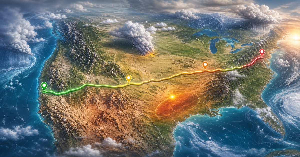
Browse US route weather pages for busy highway corridors, national park drives, mountain routes, rain, snow, wind, visibility, and departure timing.
36 routes
Browse Canadian route weather pages for Ontario, Quebec, British Columbia, Alberta, Atlantic Canada, winter driving, mountain corridors, and road trips.
17 routes
Plan mountain routes around snow, freezing conditions, wind, rapid visibility changes, daylight, and departure windows.
21 routes
Browse winter driving route weather pages for snow, freezing rain, low visibility, wind, mountain passes, lake-effect snow, and daylight timing.
22 routes
Plan national park drives around mountain weather, desert heat, coastal rain, snow, visibility, wind, daylight, and better departure windows.
14 routes
Plan US Canada cross-border and border-region drives around route weather, mountain corridors, lake-effect snow, coastal rain, wind, and departure timing.
8 routesA practical weather checklist for your next road trip: route stops, arrival times, official warnings and a final forecast refresh before departure.
Split a multi-day drive into daily legs, account for overnight stops and refresh later forecasts. A practical workflow for flexible road-trip planning.
Plan route weather in DriveWindow, use navigation for directions and check official road alerts. Know what each tool adds to your next road trip.
European road trips
Prepare a European road trip with route-weather checks and departure-time comparison in DriveWindow.

I-95 and coastal New England
215 miles · 4 hours
I-15 through the Mojave Desert
270 miles · 4.5 hours
Bay Area to Sierra Nevada
200 miles · 3.5 hours
I-5 through western Washington and Oregon
175 miles · 3 hours
I-70 and Colorado high country
200 miles · 4 hours
I-35 through central Texas
195 miles · 3.5 hours
Florida Turnpike and central Florida
235 miles · 3.75 hours
Highway 401 and Autoroute 20
540 km · 5.5 hoursiOS
Use the app when you need live route planning, saved trips, reminders, driving profiles, sharing, and Calendar export.
Road Trip Weather: DriveWindow on the App Store.
Download on the App Store