Popular routes
Winter driving route weather pages
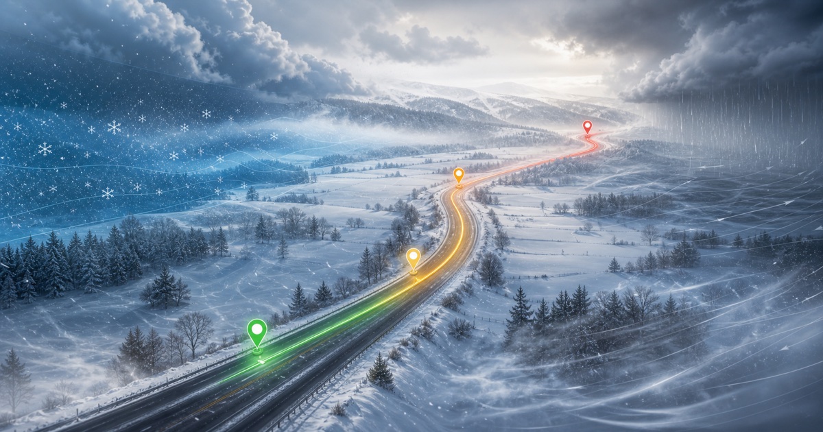
Winter route planning is about timing snow, freezing conditions, visibility, wind, and daylight. These routes are especially sensitive to departure windows.

Example route weather
DriveWindow
Illustrative examples, not current forecasts. Plan your own route and departure time in the app.
Available on the App Store. Enter your route and travel date in the app.
Winter and shoulder-season drives can shift from rain at low elevation to snow over the pass. Key weather factors: Sierra snow, freezing conditions at elevation, fog and rain near the Bay Area.
- Sierra snow
- freezing conditions at elevation
- fog and rain near the Bay Area
Winter driving
How to use this route forecast
Winter route planning is about timing snow, freezing conditions, visibility, wind, and daylight. These routes are especially sensitive to departure windows.
- Sierra snow
- freezing conditions at elevation
- fog and rain near the Bay Area
- mountain snow
- rapid temperature drops
Winter driving route weather pages
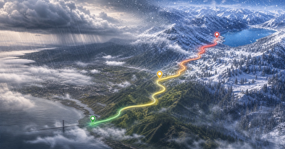
Bay Area to Sierra Nevada
200 miles · 3.5 hours
I-70 and Colorado high country
200 miles · 4 hours
Pennsylvania Turnpike and Allegheny ridges
305 miles · 5 hours
I-87 and the Adirondacks
600 km · 6 hours
I-94 near southern Lake Michigan
280 miles · 4.5 hours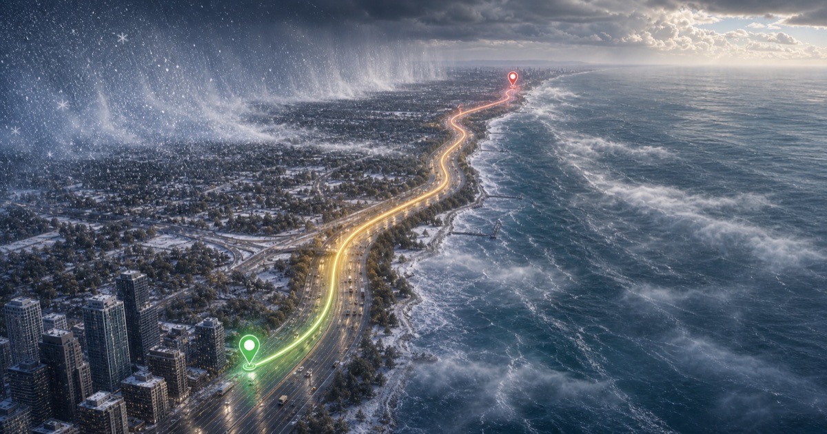
I-94 along Lake Michigan
90 miles · 1.5 hours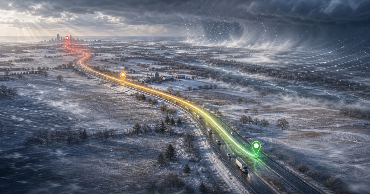
I-90 and I-94 across Wisconsin
410 miles · 6.5 hours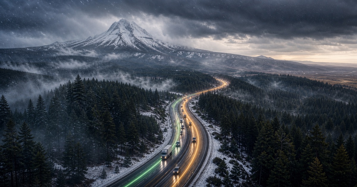
Mount Hood and the Oregon Cascades
165 miles · 3.5 hours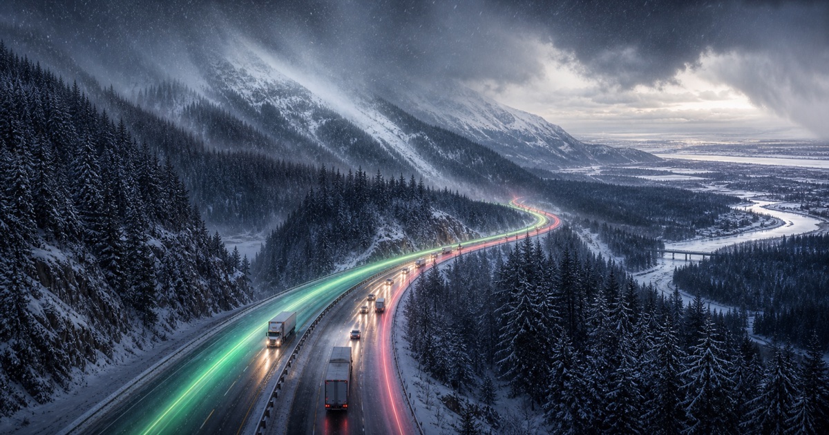
I-90 over Snoqualmie Pass
280 miles · 4.5 hours
Highway 401 and Autoroute 20
540 km · 5.5 hours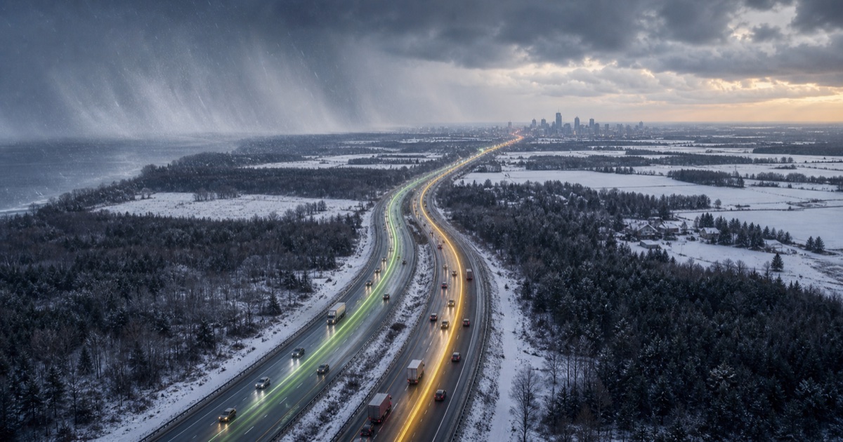
Highway 401 and Highway 416
450 km · 4.5 hours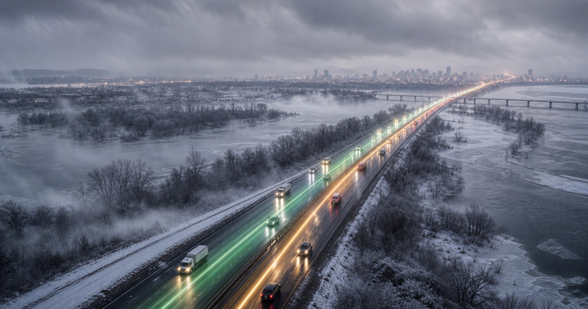
Highway 417 and Autoroute 40
200 km · 2 hours
Autoroute 20 and Autoroute 40
255 km · 3 hours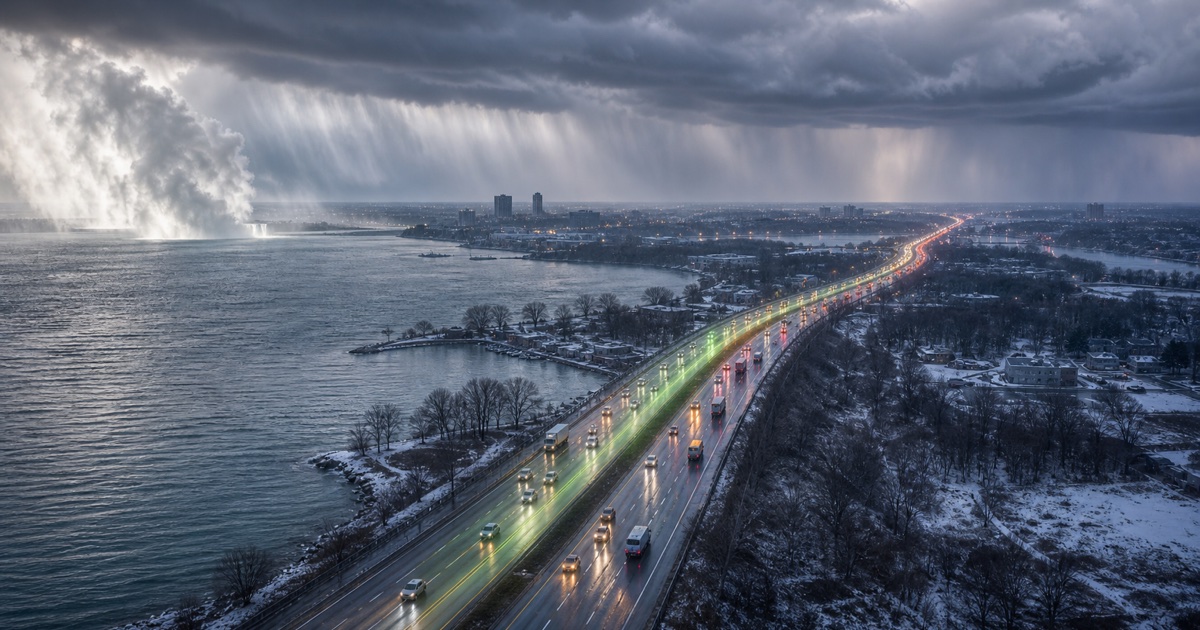
QEW around Lake Ontario
130 km · 1.5 hours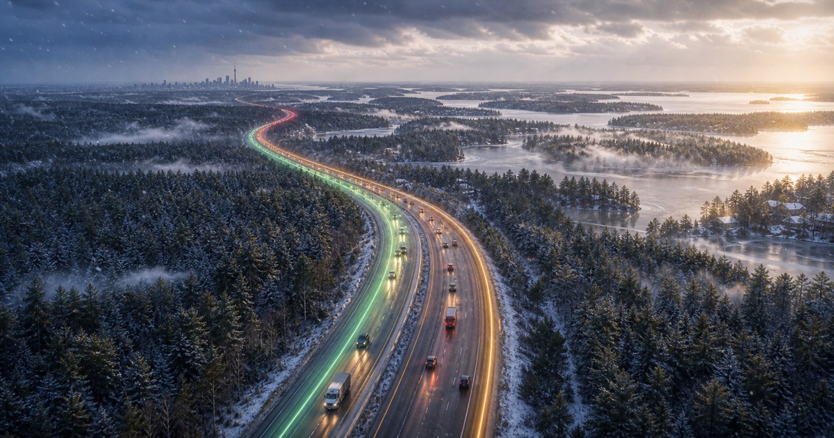
Highway 400 and cottage country
220 km · 2.5 hours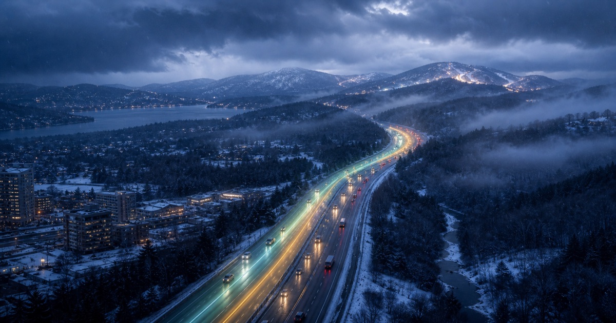
Autoroute 15 into the Laurentians
135 km · 1.75 hours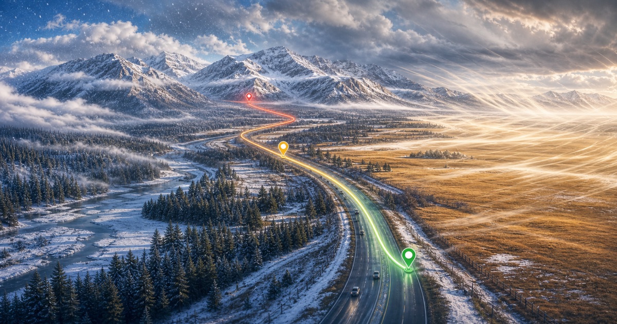
Trans-Canada Highway into the Rockies
130 km · 1.5 hours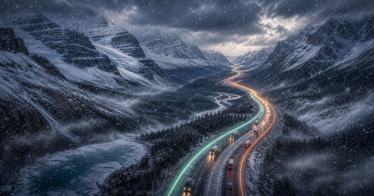
Icefields Parkway
290 km · 3.75 hours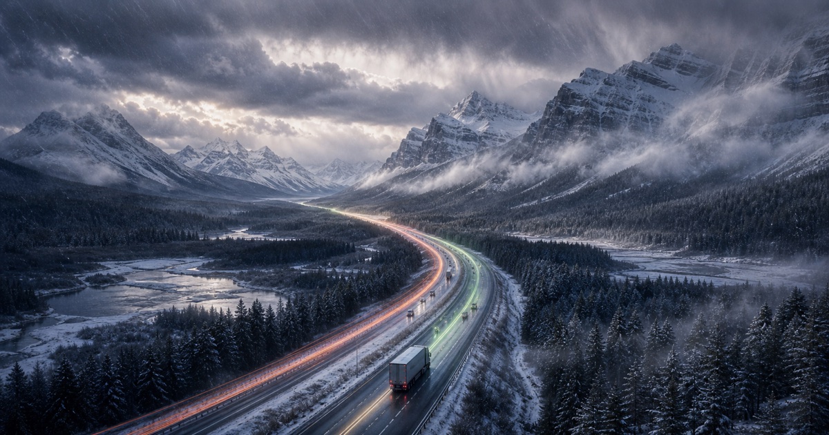
Trans-Canada Highway and Icefields Parkway
415 km · 5 hours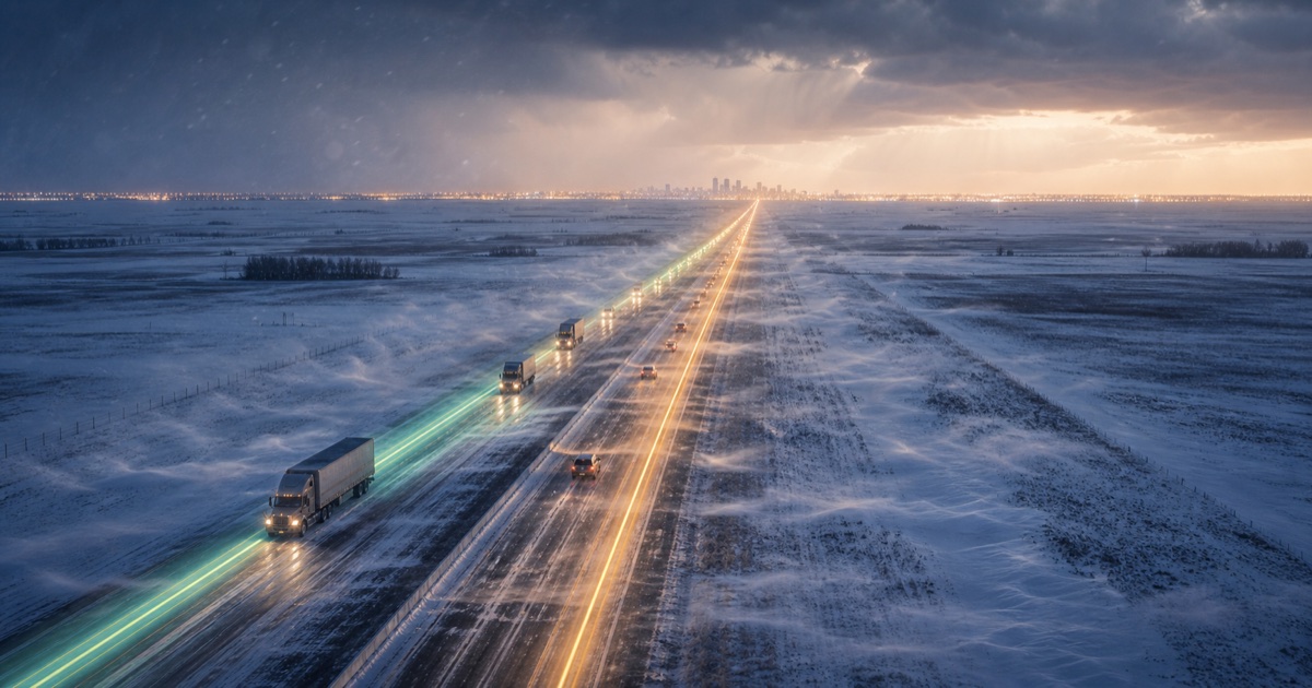
Queen Elizabeth II Highway
300 km · 3 hours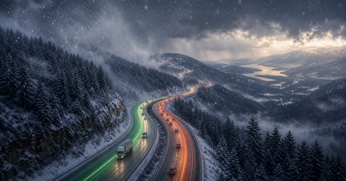
Coquihalla and BC Interior
390 km · 4.5 hours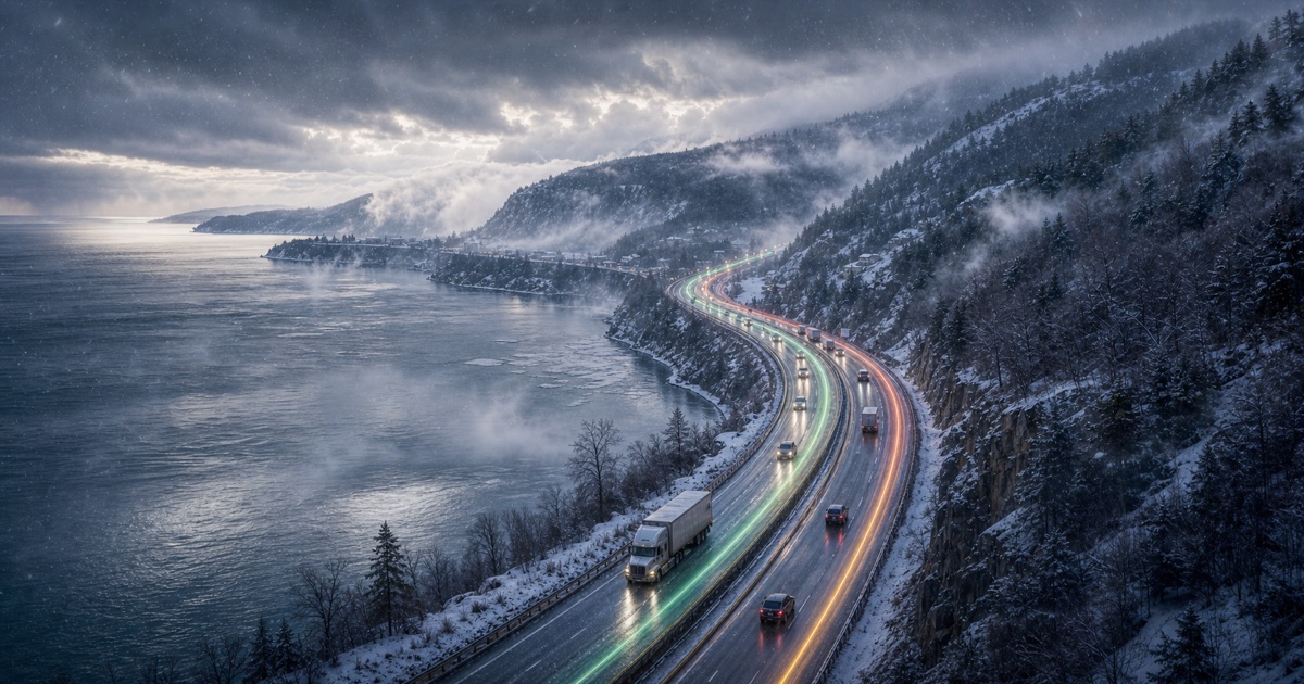
St. Lawrence coast and Charlevoix hills
140 km · 2 hoursRoute weather planning topics
Check route weather at the time you will reach each segment. Compare departure windows for rain, wind, snow, visibility, freezing risk, and alerts.
Road trip weather Road trip weather for your route and departure timeRoad trip weather planner for the full route. Compare departure times, weather along the drive, rain, snow, wind, visibility, and alerts before you leave.
Route weather planner See the weather ahead. Choose when to leave.Route weather planner for drivers: compare weather along your drive by segment and departure window, with rain, snow, wind, visibility, ice risk, and alerts.
Highway weather Highway weather checks before you leaveCheck highway weather risk for rain, snow, wind, visibility, freezing conditions, night driving, and alerts before a long drive.
Winter driving Compare winter driving windows before the route gets worseCompare departure windows for winter drives and check snow, freezing conditions, wind, visibility, night driving, and alerts.
RV route weather Route weather for RV and trailer travelPlan RV and trailer drives around route weather, wind, visibility, rain, snow, freezing risk, and better departure windows.
Motorcycle weather Motorcycle route weather before you rideMotorcycle route weather planner for rain, wind, cold, visibility, surface conditions, darkness, and better departure windows.
Commute weather Commute weather before the drive startsCompare weather risk for commute departure windows, including rain, snow, wind, visibility, freezing conditions, and alerts.
Weather along route Check the weather along your route, segment by segmentCheck weather along your route by segment and arrival time—not just at the start or destination. Compare rain, snow, wind, ice risk, and alerts.
Best time to drive Find the best time to drive for your travel dateFind a better time to drive by comparing earlier and later departures against route weather, rain, snow, wind, visibility, darkness, freezing risk, and alerts.
Driving in rain Plan around rain before you start drivingCompare route timing before driving in rain, heavy showers, standing water, low visibility, wind, and weather alerts.
Driving in snow Compare snow risk by departure timeCompare departure windows before driving in snow, freezing conditions, low visibility, mountain weather, night driving, and alerts.
RV wind planner Route weather for RV wind and trailer timingPlan RV and trailer routes around wind, gusts, rain, visibility, mountain corridors, and better departure windows.
Motorcycle rain Compare rain risk before a motorcycle rideCompare motorcycle route timing around rain, wind, visibility, cold, night riding, and alerts before you leave.
Route vs destination Destination weather does not tell the whole driving storyLearn why destination weather can miss the driving risk between cities, and compare route weather by departure time with DriveWindow.
iOS
DriveWindow for iPhone and iPad
Use the app when you need live route planning, saved trips, reminders, driving profiles, sharing, and Calendar export.
Download on the App Store