Start, destination, date, and realistic departure range
Route weather planner for iPhone & iPad
See the weather ahead. Choose when to leave.
Compare departure times with forecasts for the whole drive. DriveWindow shows the weather along your route at the times you expect to get there.
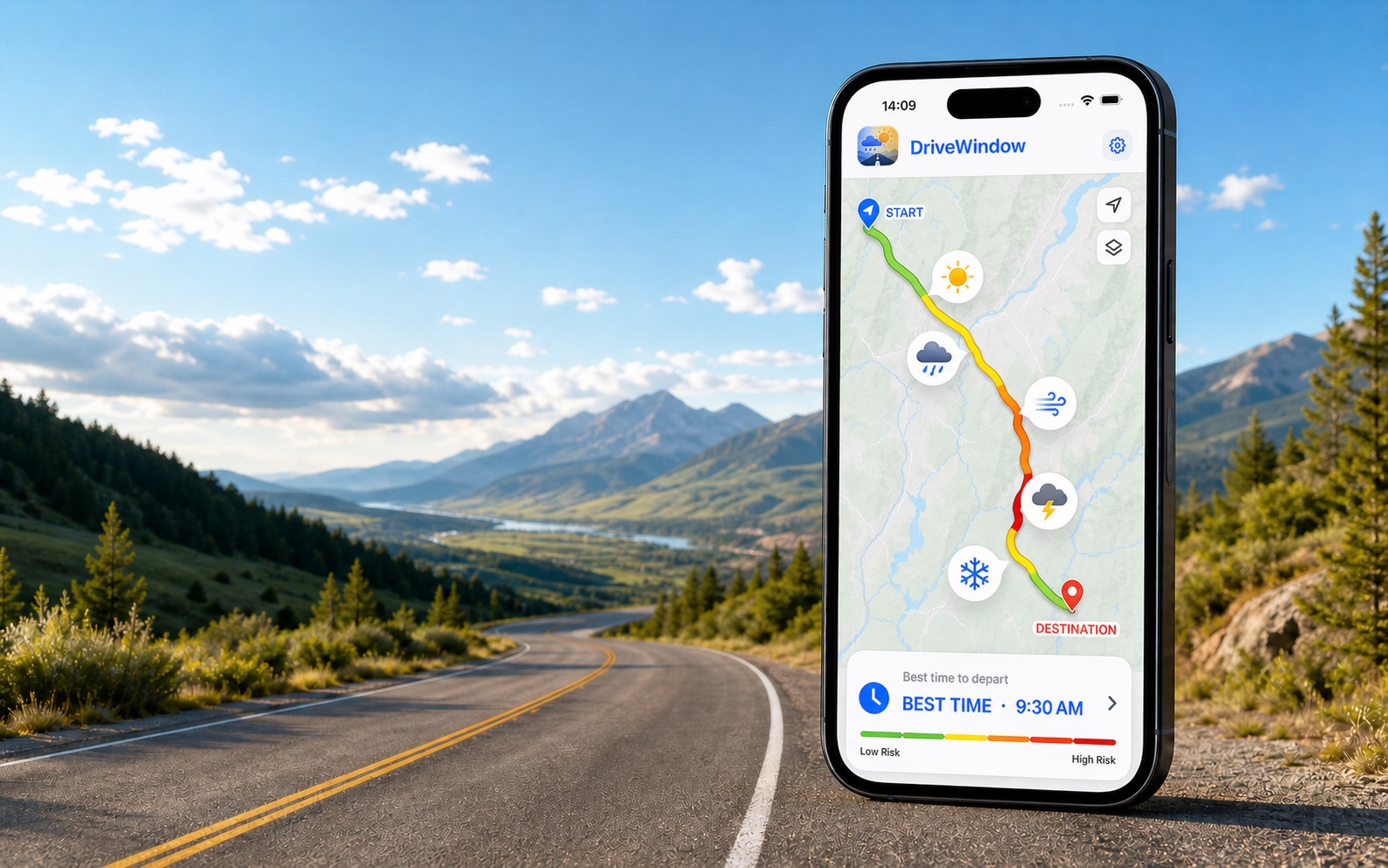
 Get DriveWindow for iPhone & iPad
Available on the App Store. Plan your trip in the app.
See how it worksCompare departure times for your own drive
Use the same route and travel date to compare when you could leave.
- Enter your trip in DriveWindow. Choose your start, destination, date and departure window in the app.
- Review the weather along your route. Compare forecast conditions with the times you expect to reach each part of the drive.
- Compare your departure options. Review the weather risks before choosing when to leave, and check official road information before departure.
Get DriveWindow for iPhone & iPad
Product information from DriveWindow · How route forecasts work
Explore route-weather examples
See which conditions can matter along a drive. For your travel date, compare forecasts in DriveWindow.
Example route weather
DriveWindow
Illustrative examples, not current forecasts. Plan your own route and departure time in the app.

Available on the App Store. Enter your route and travel date in the app.
Route
New York → Boston
Weather risk
Moderate
Best window
Late morning
Spring and fall often bring fast-changing coastal systems. Winter drives need extra attention to freezing rain and snow timing. Key weather factors: coastal rain bands, gusty wind near exposed bridges, fog and low visibility in southern New England.
- coastal rain bands
- gusty wind near exposed bridges
- fog and low visibility in southern New England
What this planning page is for
DriveWindow compares route forecasts for different departure times. In the app, enter your start, destination, travel date and the range of times you could leave. Review the weather expected when you reach each part of the drive before choosing your departure.
Forecasts are estimates and can change. Check official weather alerts and road information before departure.
What to compare for this drive
Forecast timing at multiple points along the route
Rain, snow, wind, visibility, freezing, and night risk
Vehicle profile and sensitivity to specific conditions
Decisions this page can help frame
Which departure options deserve a direct comparison
Which weather risk should carry the most weight for this vehicle
When to open the app for the current route calculation
Continue planning your trip
How to Plan Weather for a Multi-Day Road Trip — Split a multi-day drive into daily legs, account for overnight stops and refresh later forecasts. A practical workflow for flexible road-trip planning.
Routes where this planning approach matters

New York → Boston
I-95 and coastal New England
215 miles · 4 hours
Los Angeles → Las Vegas
I-15 through the Mojave Desert
270 miles · 4.5 hours
Toronto → Montreal
Highway 401 and Autoroute 20
540 km · 5.5 hours
Denver → Aspen
I-70 and Colorado high country
200 miles · 4 hours
Houston → New Orleans
I-10 along the Gulf Coast
350 miles · 5.5 hours
Vancouver → Whistler
Sea to Sky Highway
120 km · 2 hoursiOS
DriveWindow for iPhone and iPad
Use the app when you need live route planning, saved trips, reminders, driving profiles, sharing, and Calendar export.
Download on the App Store