Weather transitions across the whole travel day
Road trip weather for iPhone & iPad
Road trip weather for the whole drive
See the forecast along your journey, not just at the destination. Enter your route and travel date in DriveWindow, then compare when to leave.
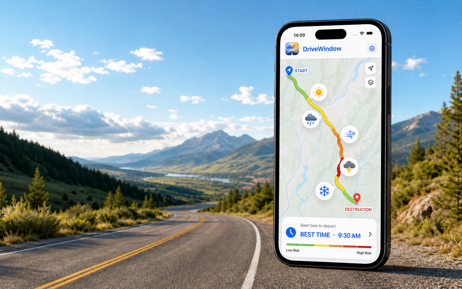
Check the weather for your road trip
Start with your route and travel date in the app.
- Enter your trip in DriveWindow. Choose your start, destination, date and departure window in the app.
- Review the weather along your route. Compare forecast conditions with the times you expect to reach each part of the drive.
- Compare your departure options. Review the weather risks before choosing when to leave, and check official road information before departure.
 Get DriveWindow for iPhone & iPad
Product information from DriveWindow · How route forecasts work
Explore route-weather examples
See which conditions can matter along a drive. For your travel date, compare forecasts in DriveWindow.
Example route weather
DriveWindow
Illustrative examples, not current forecasts. Plan your own route and departure time in the app.

Available on the App Store. Enter your route and travel date in the app.
Route
Denver → Salt Lake City
Weather risk
Very high
Best window
Early daylight
This long mountain route can involve snow, wind, and large elevation changes. Key weather factors: mountain snow, strong crosswinds, rapid temperature drops.
- mountain snow
- strong crosswinds
- rapid temperature drops
Have your route and travel date ready? See how to compare departure options with the route weather planner.
What this planning page is for
A road trip weather planner is useful whenever one drive crosses several forecast areas or climate zones. Compare the weather along the route with the time you will reach each segment, then use the app for the current trip calculation.
Forecasts are estimates and can change. Check official weather alerts and road information before departure.
What to compare for this drive
Daylight and overnight portions of the itinerary
Fuel, charging, food, and rest stops that shift arrival timing
A backup departure window if one region deteriorates
Decisions this page can help frame
Whether the trip should begin earlier to keep a difficult segment in daylight
Where a planned stop could move the drive into worse weather
When to refresh the full itinerary in the app
Continue planning your trip
Road Trip Weather Checklist: Before You Leave — A practical weather checklist for your next road trip: route stops, arrival times, official warnings and a final forecast refresh before departure.
Routes where this planning approach matters

Denver → Salt Lake City
I-70 and I-80 across the Rockies
525 miles · 8 hours
San Francisco → Los Angeles
California coast and US-101
380 miles · 6.5 hours
Toronto → Montreal
Highway 401 and Autoroute 20
540 km · 5.5 hours
Houston → New Orleans
I-10 along the Gulf Coast
350 miles · 5.5 hours
Calgary → Jasper
Trans-Canada Highway and Icefields Parkway
415 km · 5 hours
Halifax → Cape Breton
Nova Scotia and the Cabot Trail approach
400 km · 4.5 hoursiOS
DriveWindow for iPhone and iPad
Use the app when you need live route planning, saved trips, reminders, driving profiles, sharing, and Calendar export.
Download on the App Store