Popular routes
Popular route weather pages
Start with common driving corridors and weather-sensitive road trips. Each page focuses on departure timing, route-level weather checks, and the conditions most likely to affect the drive.

Example route weather
DriveWindow
Illustrative examples, not current forecasts. Plan your own route and departure time in the app.
Available on the App Store. Enter your route and travel date in the app.
Spring and fall often bring fast-changing coastal systems. Winter drives need extra attention to freezing rain and snow timing. Key weather factors: coastal rain bands, gusty wind near exposed bridges, fog and low visibility in southern New England.
- coastal rain bands
- gusty wind near exposed bridges
- fog and low visibility in southern New England
Route weather hubs
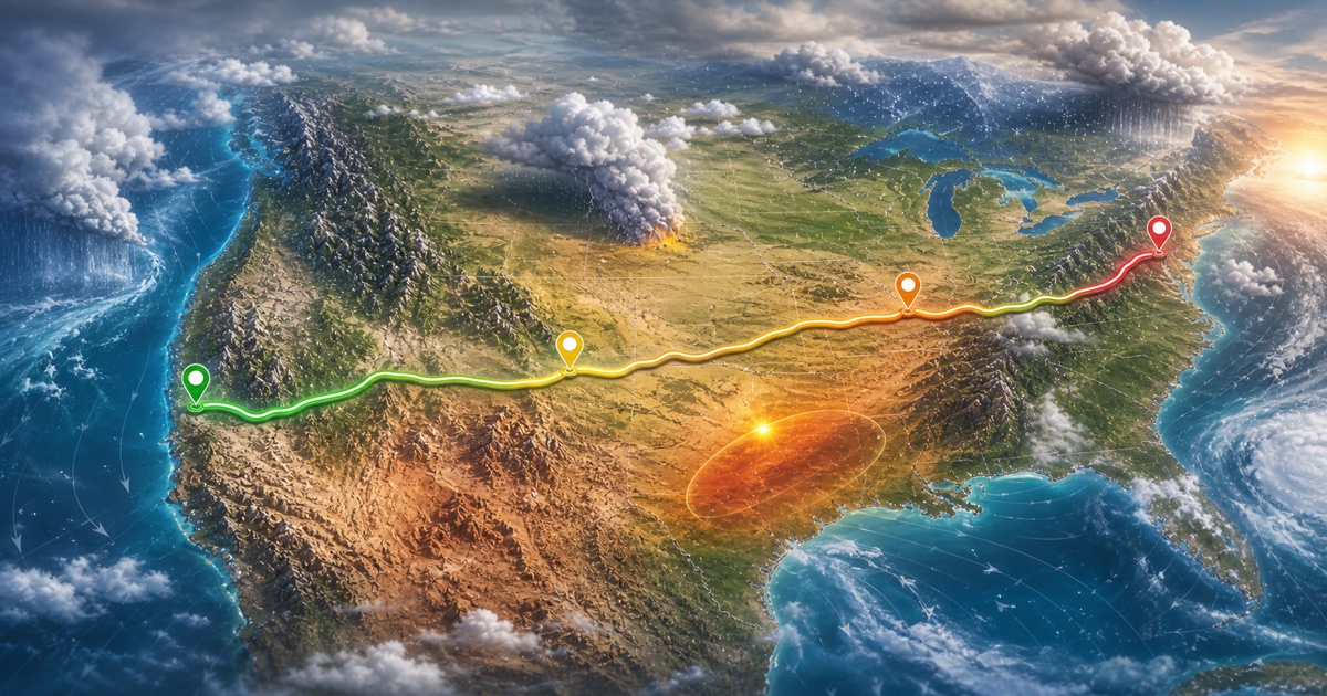
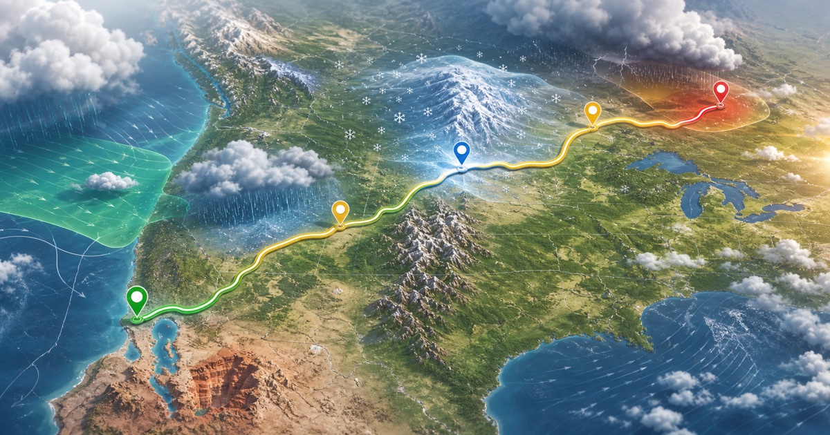
Browse US route weather pages for busy highway corridors, national park drives, mountain routes, rain, snow, wind, visibility, and departure timing.
36 routes
Browse Canadian route weather pages for Ontario, Quebec, British Columbia, Alberta, Atlantic Canada, winter driving, mountain corridors, and road trips.
17 routes
Plan mountain routes around snow, freezing conditions, wind, rapid visibility changes, daylight, and departure windows.
21 routes
Browse winter driving route weather pages for snow, freezing rain, low visibility, wind, mountain passes, lake-effect snow, and daylight timing.
22 routes
Plan national park drives around mountain weather, desert heat, coastal rain, snow, visibility, wind, daylight, and better departure windows.
14 routes
Plan US Canada cross-border and border-region drives around route weather, mountain corridors, lake-effect snow, coastal rain, wind, and departure timing.
8 routesPopular route weather pages
53 routes shown

I-95 and coastal New England
215 miles · 4 hours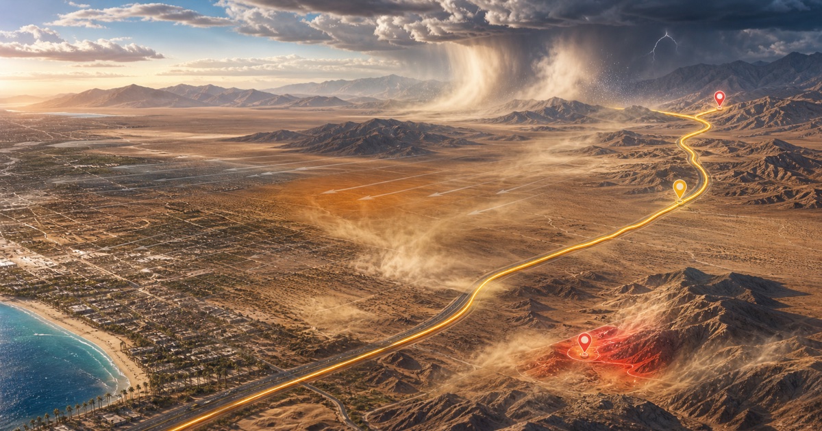
I-15 through the Mojave Desert
270 miles · 4.5 hours
Bay Area to Sierra Nevada
200 miles · 3.5 hours
I-5 through western Washington and Oregon
175 miles · 3 hours
I-70 and Colorado high country
200 miles · 4 hours
I-94 near southern Lake Michigan
280 miles · 4.5 hours
I-35 through central Texas
195 miles · 3.5 hours
Florida Turnpike and central Florida
235 miles · 3.75 hours
Highway 401 and Autoroute 20
540 km · 5.5 hours
Sea to Sky Highway
120 km · 2 hours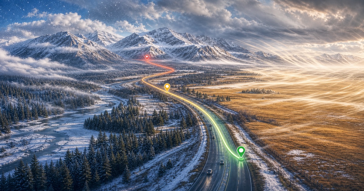
Trans-Canada Highway into the Rockies
130 km · 1.5 hours
I-5 and BC Highway 99
230 km · 3 hours
I-95 and the Northeast Corridor
225 miles · 4.5 hours
Pennsylvania Turnpike and Allegheny ridges
305 miles · 5 hours
Coastal New England and Downeast Maine
285 miles · 5 hours
I-87 and the Adirondacks
600 km · 6 hours
I-75 and I-16 through Georgia
250 miles · 4 hours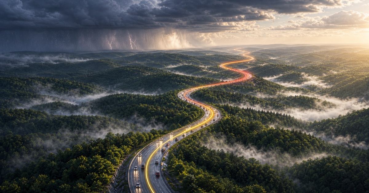
I-75 and I-24 through the southern Appalachians
250 miles · 4 hours
I-40 into the Blue Ridge Mountains
130 miles · 2.5 hours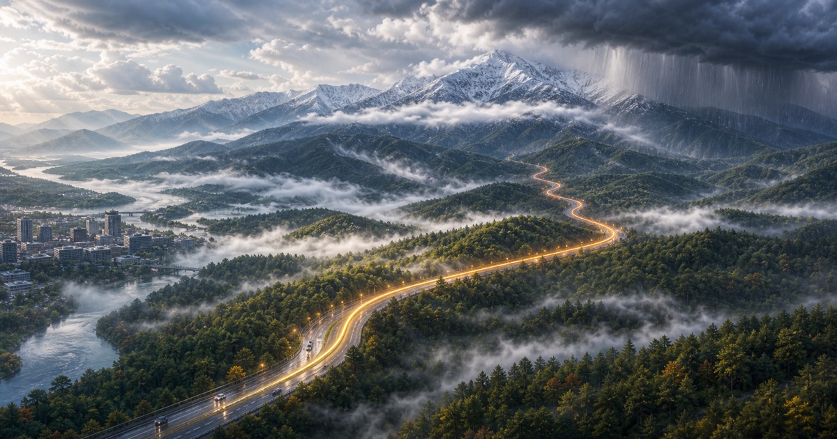
I-40 toward East Tennessee
215 miles · 4 hours
I-94 along Lake Michigan
90 miles · 1.5 hours
I-90 and I-94 across Wisconsin
410 miles · 6.5 hours
I-55 through Illinois
300 miles · 4.5 hours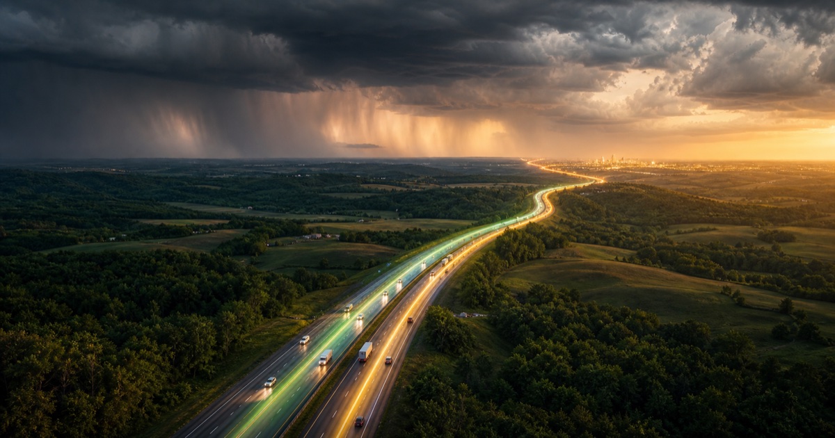
I-70 across Missouri
250 miles · 4 hours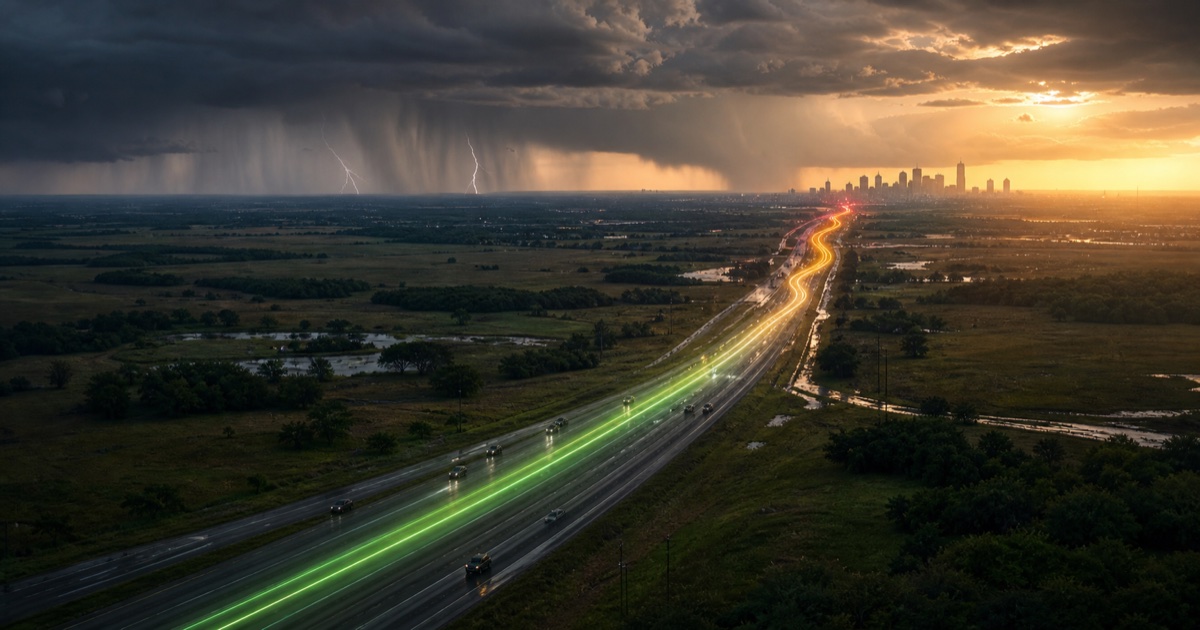
US-290 and central Texas
165 miles · 3 hours
I-45 through east Texas
240 miles · 4 hours
I-10 along the Gulf Coast
350 miles · 5.5 hours
I-4 across central Florida
85 miles · 1.5 hours
Overseas Highway
165 miles · 3.5 hours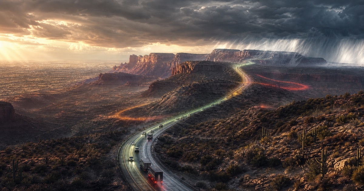
Arizona high desert and plateau
230 miles · 4 hours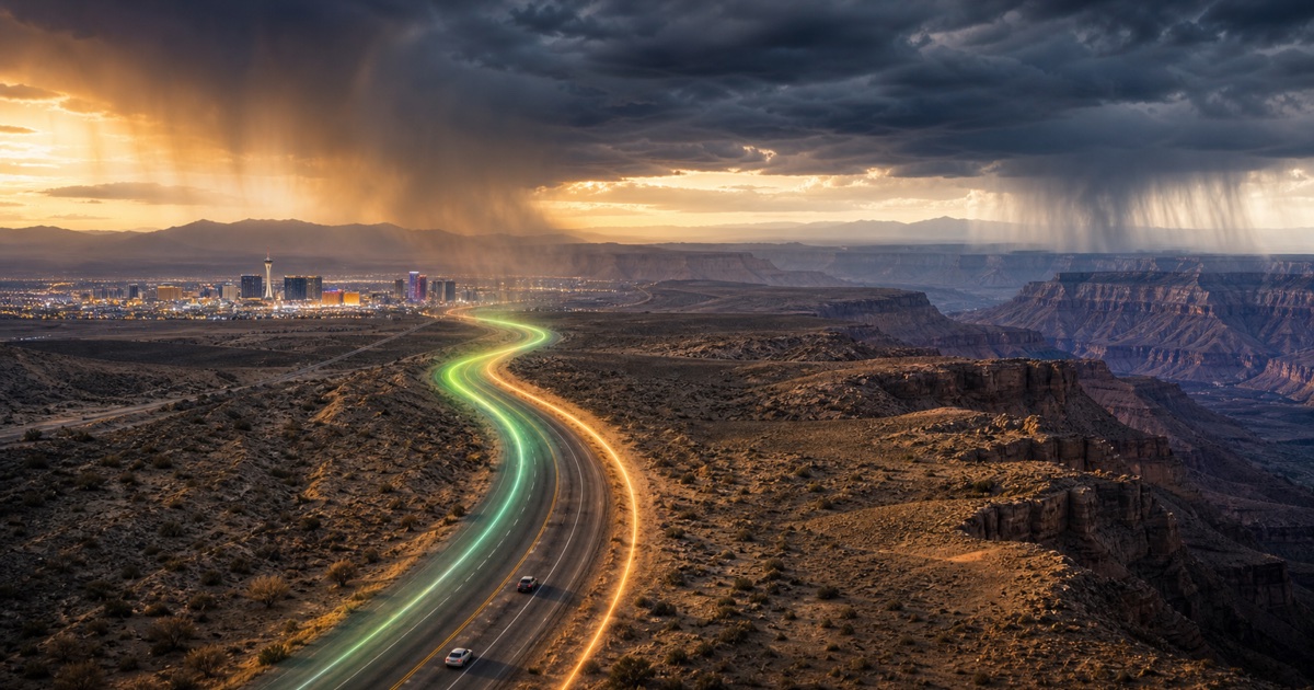
US-93 and northern Arizona
280 miles · 4.5 hours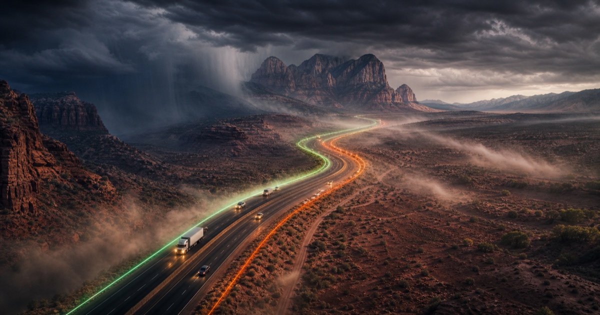
I-15 through Nevada, Arizona, and Utah
160 miles · 2.75 hours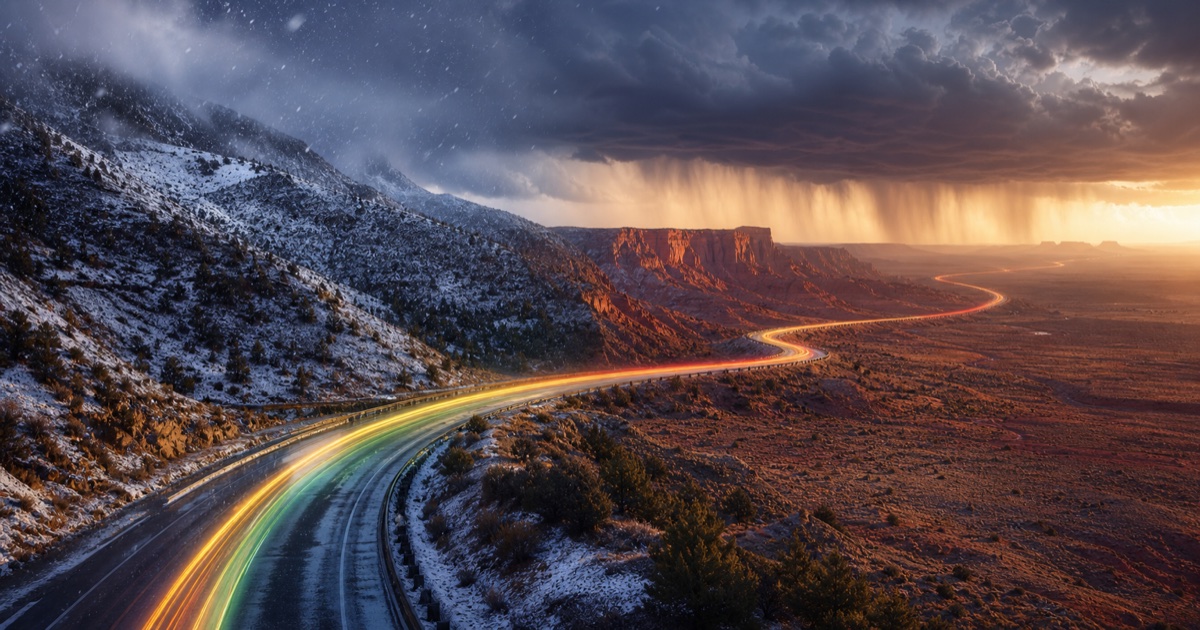
US-6 and eastern Utah
235 miles · 4 hours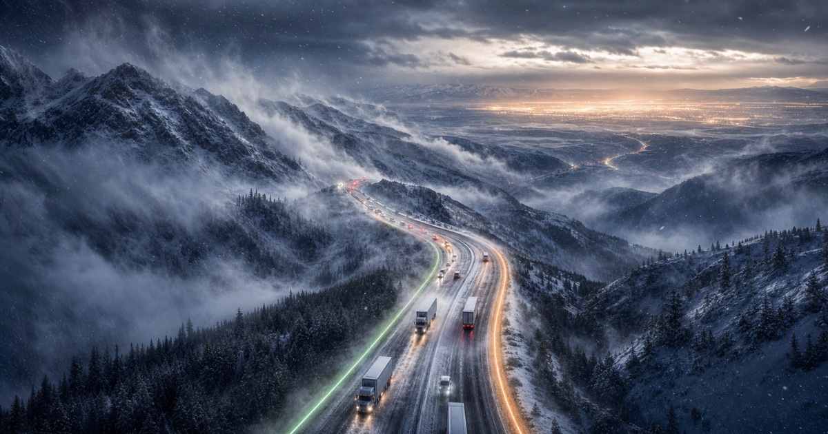
I-70 and I-80 across the Rockies
525 miles · 8 hours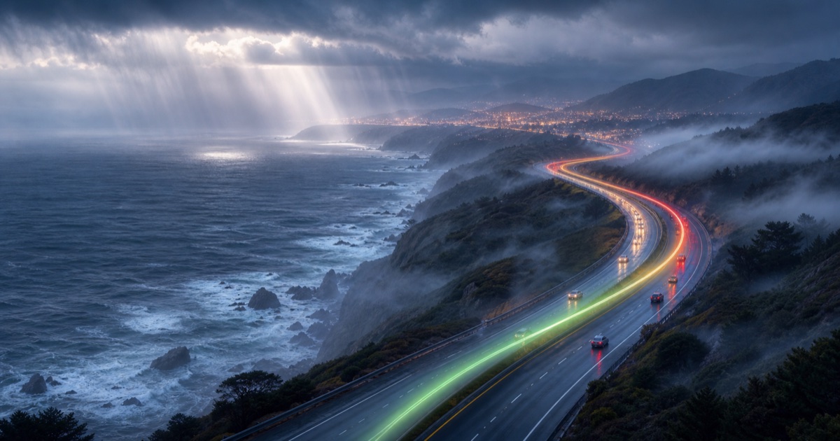
California coast and US-101
380 miles · 6.5 hours
I-5 along Southern California
120 miles · 2.5 hours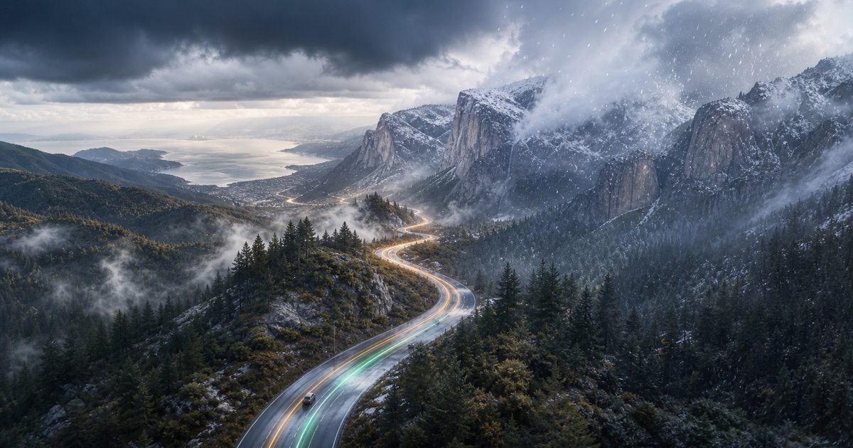
Bay Area to the Sierra Nevada
190 miles · 4 hours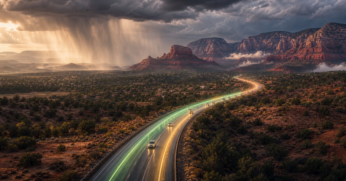
I-17 into Arizona high country
115 miles · 2 hours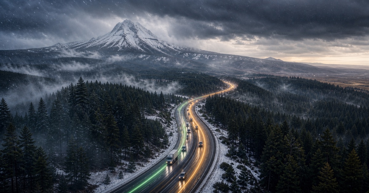
Mount Hood and the Oregon Cascades
165 miles · 3.5 hours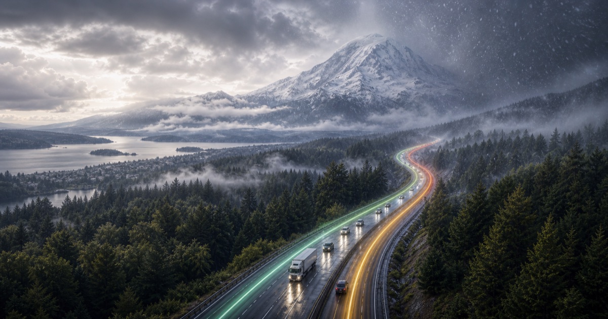
Puget Sound to the Cascades
95 miles · 2 hours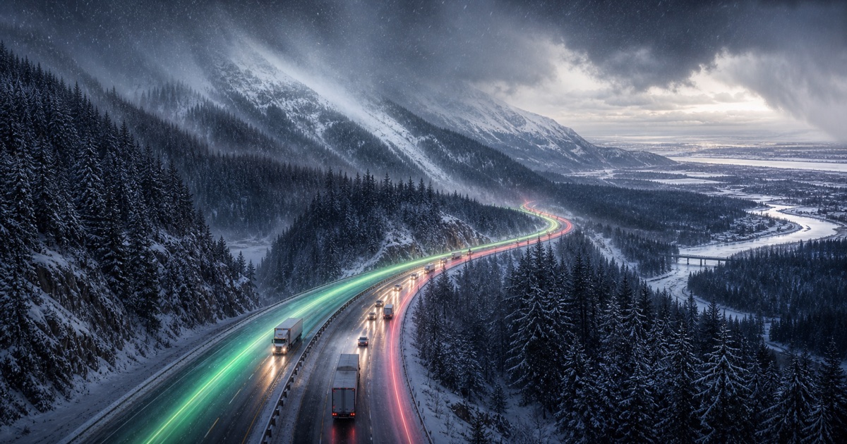
I-90 over Snoqualmie Pass
280 miles · 4.5 hours
Highway 401 and Highway 416
450 km · 4.5 hours
Highway 417 and Autoroute 40
200 km · 2 hours
Autoroute 20 and Autoroute 40
255 km · 3 hours
QEW around Lake Ontario
130 km · 1.5 hours
Highway 400 and cottage country
220 km · 2.5 hours
Autoroute 15 into the Laurentians
135 km · 1.75 hours
Icefields Parkway
290 km · 3.75 hours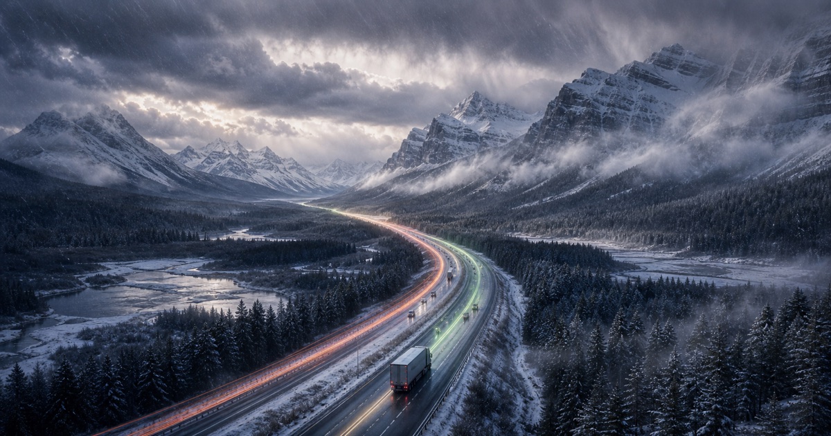
Trans-Canada Highway and Icefields Parkway
415 km · 5 hours
Queen Elizabeth II Highway
300 km · 3 hours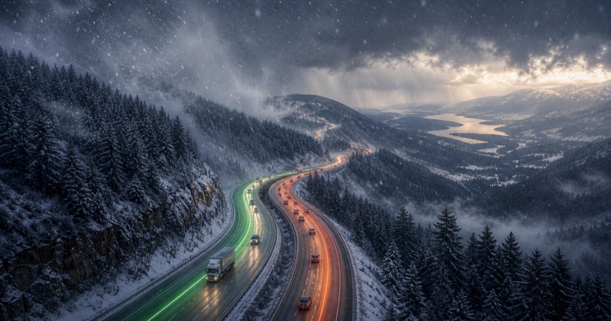
Coquihalla and BC Interior
390 km · 4.5 hours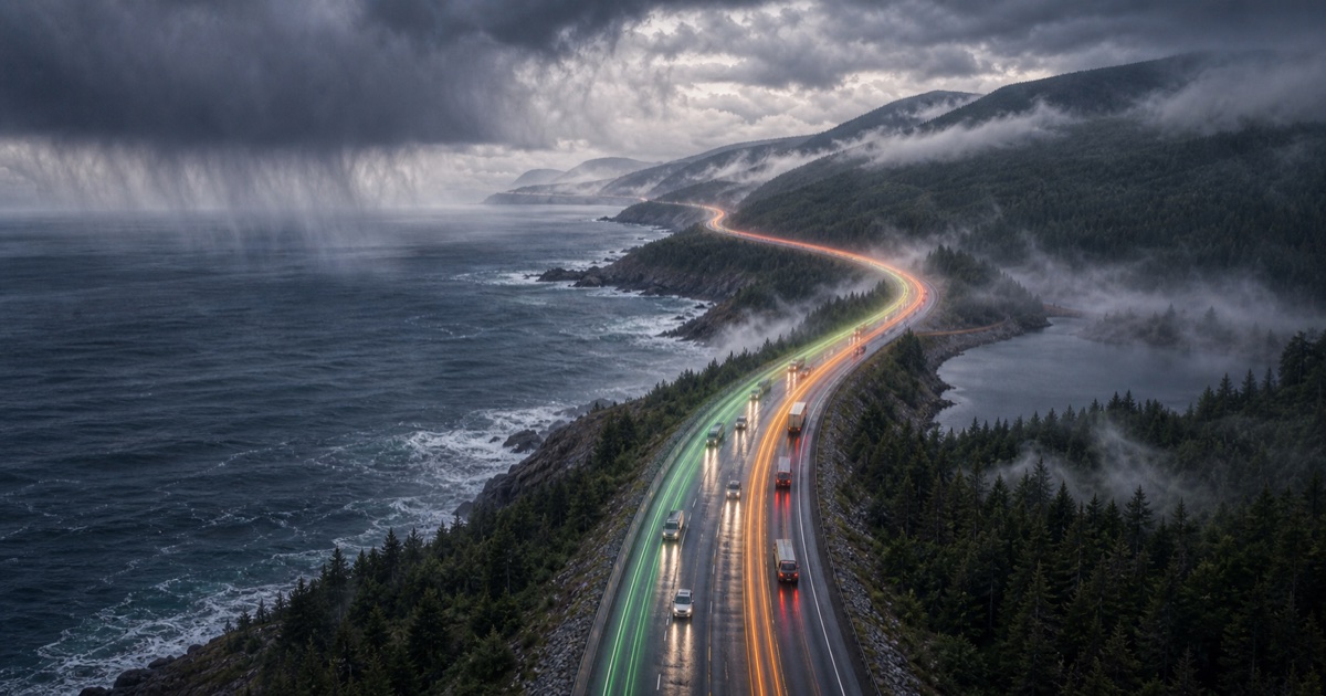
Nova Scotia and the Cabot Trail approach
400 km · 4.5 hours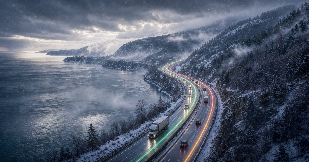
St. Lawrence coast and Charlevoix hills
140 km · 2 hoursNo route pages match this search yet.
Major corridors
Weather by interstate and highway
Follow long-distance weather patterns across major US interstates and Canadian highways.
iOS
DriveWindow for iPhone and iPad
Use the app when you need live route planning, saved trips, reminders, driving profiles, sharing, and Calendar export.
Download on the App Store