Forecast differences between representative route points
Weather along route
Check weather along your Canadian route, segment by segment
Will the weather change before you reach your destination? This guide explains what to check between the two endpoints. Enter your trip in DriveWindow on your iPhone or iPad to see the forecast along the route matched to your trip timing, rather than relying on the destination forecast alone.

Example route weather
DriveWindow
Illustrative examples, not current forecasts. Plan your own route and departure time in the app.
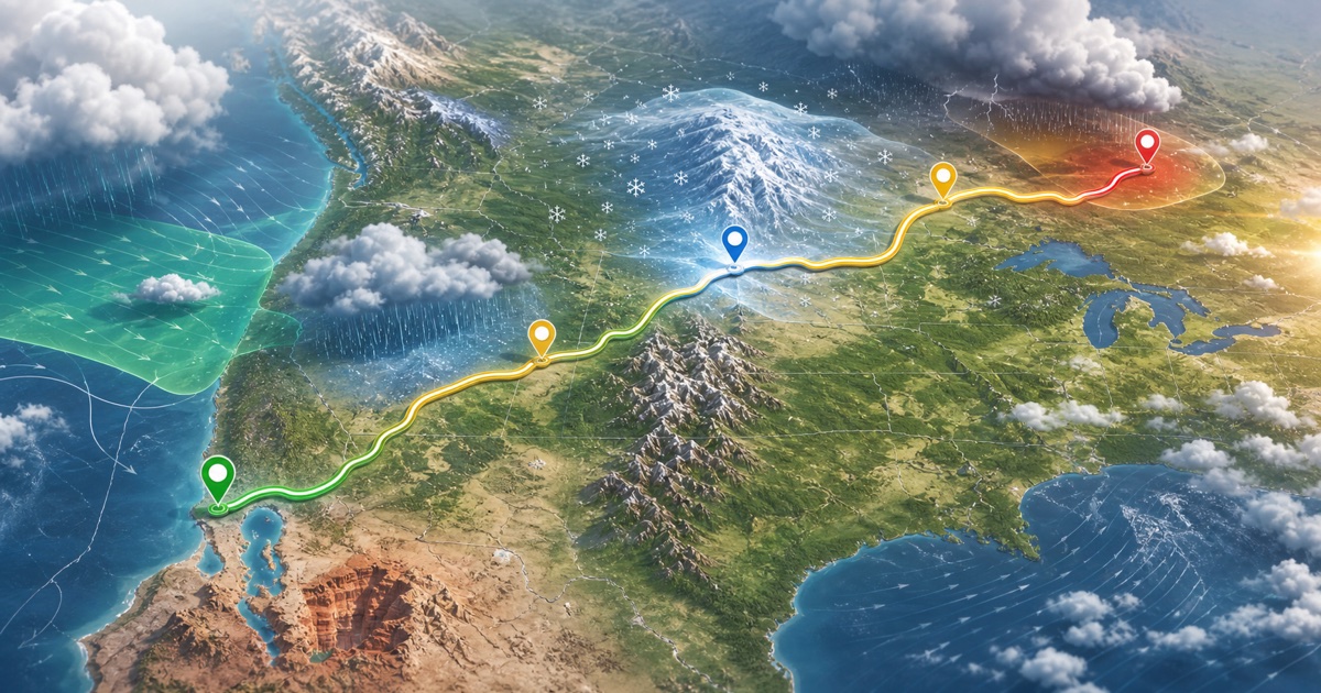
Available on the App Store. Enter your route and travel date in the app.
Route
San Francisco → Yosemite
Weather risk
High
Best window
Morning before mountain weather builds
Park drives can shift from Bay Area rain to Sierra snow and freezing conditions. Key weather factors: mountain snow, freezing conditions at elevation, fog and rain near the Bay Area.
- mountain snow
- freezing conditions at elevation
- fog and rain near the Bay Area
What this planning page is for
Weather along a Canadian route shows where lake influence, elevation, prairie, coastal exposure, or a change of province makes a city forecast an incomplete proxy for the drive.
Forecasts are estimates and can change. Check official weather alerts and road information before departure.
What to compare for this drive
Elevation, lake, prairie, coast, and urban transitions
Local time when the vehicle reaches each region
The segment that needs a current route forecast
Decisions this page can help frame
Where conditions diverge from either endpoint
Which point best represents the corridor transition
When to continue the check in DriveWindow
Canadian and cross-border routes to explore
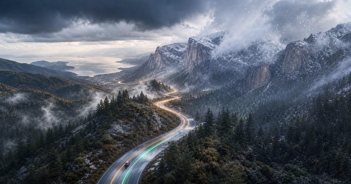
San Francisco → Yosemite
Bay Area to the Sierra Nevada
306 km · 4 hours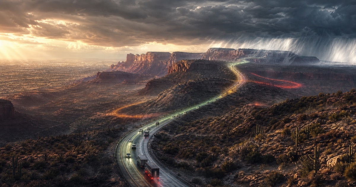
Phoenix → Grand Canyon
Arizona high desert and plateau
370 km · 4 hours
Toronto → Montreal
Highway 401 and Autoroute 20
540 km · 5.5 hours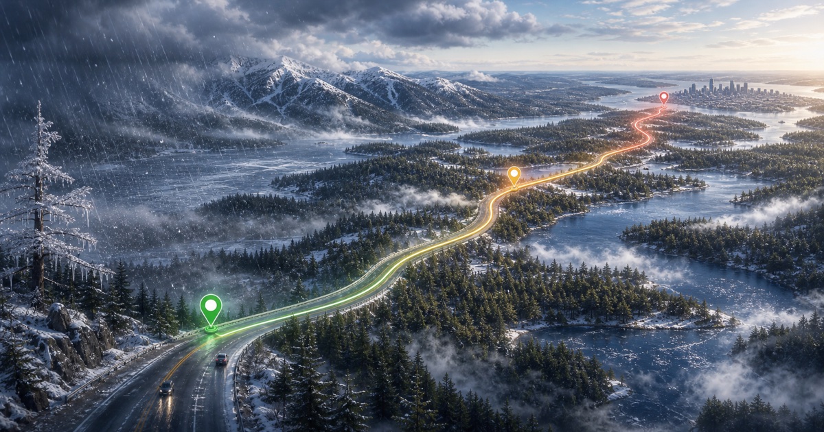
New York → Montreal
I-87 and the Adirondacks
600 km · 6 hours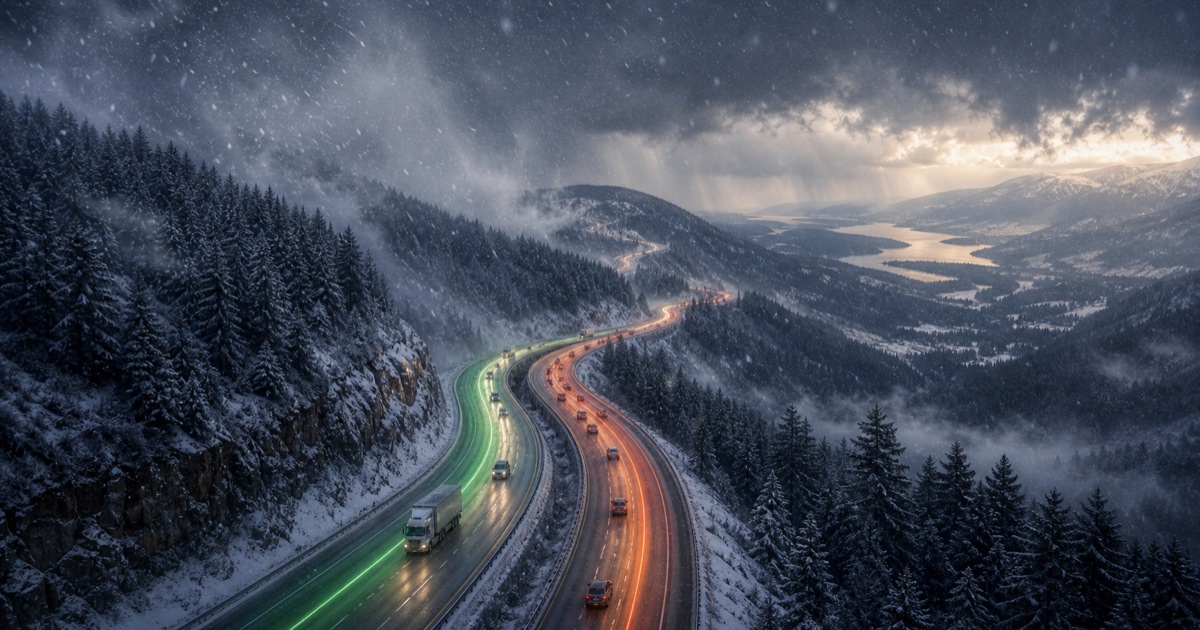
Vancouver → Kelowna
Coquihalla and BC Interior
390 km · 4.5 hours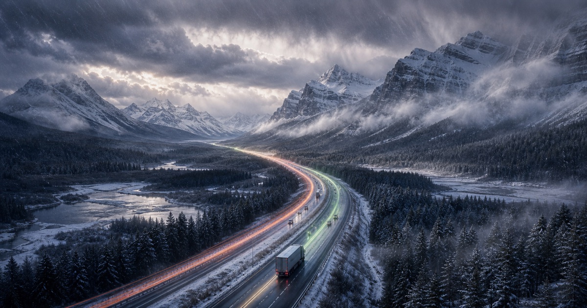
Calgary → Jasper
Trans-Canada Highway and Icefields Parkway
415 km · 5 hoursiOS
DriveWindow for iPhone and iPad
Use the app for live route planning, saved trips, reminders, driving profiles, sharing, and Calendar export.
Download on the App Store