DriveWindow Canada route answer
What weather should I check between Phoenix and Sedona?
Check desert heat, thunderstorm outflow near mountain passes, and rapid temperature drops along I-17 into Arizona high country. Short desert-to-high-country drives can change temperature and storm exposure quickly. Refresh the forecast close to departure and verify provincial, state, or park road information.
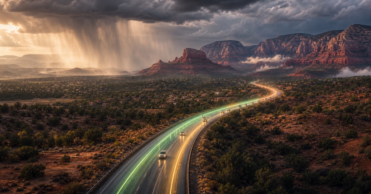
Route facts
Phoenix → Sedona
- Distance
- 185 km
- Typical drive
- 2 hours
- Planning baseline
- Early morning
- Main weather risks
- desert heat · thunderstorm outflow near mountain passes · rapid temperature drops
Plan your departure
Plan this trip in DriveWindow
Choose your travel date and compare departure windows, route timing, segment forecasts, and vehicle-aware risks in the app.
 Find the best time in DriveWindow
Corridor conditions
Where weather can affect the drive
The destination forecast does not describe the full 185 km trip. Conditions can differ across I-17 into Arizona high country as elevation, exposure, and storm timing change.
Prioritize desert heat, thunderstorm outflow near mountain passes, and rapid temperature drops and refresh the corridor forecast shortly before leaving.
What to check before leaving
Short desert-to-high-country drives can change temperature and storm exposure quickly. Key weather factors: desert heat, thunderstorm outflow near mountain passes, rapid temperature drops.
- desert heat
- thunderstorm outflow near mountain passes
- rapid temperature drops
Route planning answers
Common questions about this drive
Plan the drive
Route weather planning guides
Start with the question that matches your Canadian or cross-border trip, then finish the current check in DriveWindow.
Sources and methodology
How this answer is produced
Website drive time and distance are static planning baselines. In the app, routing-provider travel time can account for traffic and helps time each weather segment; departure options are then compared by weather risk for your date.
US National Weather Service Environment and Climate Change Canada Arizona 511 Route weather methodology Data-source policy
iOS
DriveWindow for iPhone and iPad
Use the app for live route planning, saved trips, reminders, driving profiles, sharing, and Calendar export.
Download on the App Store