Snow squalls, freezing rain, and precipitation transitions
Winter driving
Compare winter driving windows before Canadian weather shifts
Winter timing matters across Canada. A few hours can change snow, freezing risk, visibility, wind, and darkness along the route.

Example route weather
DriveWindow
Illustrative examples, not current forecasts. Plan your own route and departure time in the app.
Available on the App Store. Enter your route and travel date in the app.
Route
Denver → Aspen
Weather risk
Very high
Best window
Early daylight
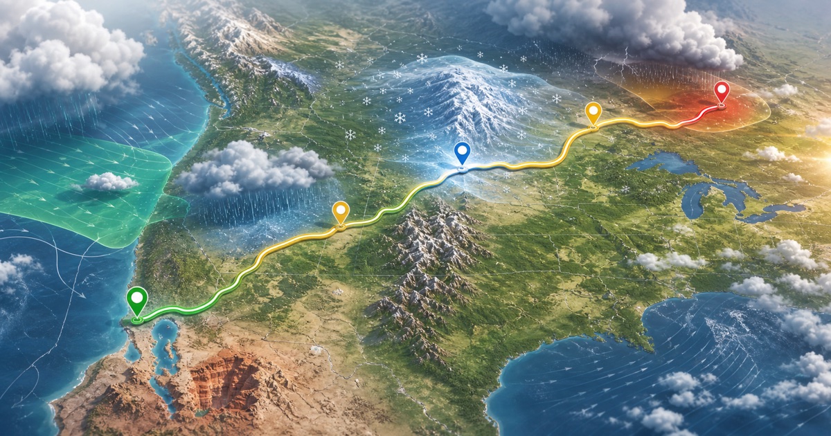
Mountain weather can change sharply with elevation, especially during winter storms and spring snow events. Key weather factors: mountain snow, rapid temperature drops, night driving through high elevation.
- mountain snow
- rapid temperature drops
- night driving through high elevation
What this planning page is for
Canadian winter driving is a timing problem as much as a forecast problem. Snow squalls, freezing rain, blowing snow, rapid temperature changes, and limited daylight can vary greatly across one corridor.
Forecasts are estimates and can change. Check official weather alerts and road information before departure.
What to compare for this drive
Temperature and wind-chill trends along the route
Visibility, drifting snow, and available daylight
Provincial winter road reports and closures
Decisions this page can help frame
Whether a different departure improves daylight or temperature
Whether a pass, lake belt, or open section should wait
Which winter risks need a current DriveWindow comparison
Canadian and cross-border routes to explore

Denver → Aspen
I-70 and Colorado high country
322 km · 4 hours
San Francisco → Lake Tahoe
Bay Area to Sierra Nevada
322 km · 3.5 hours
Banff → Jasper
Icefields Parkway
290 km · 3.75 hours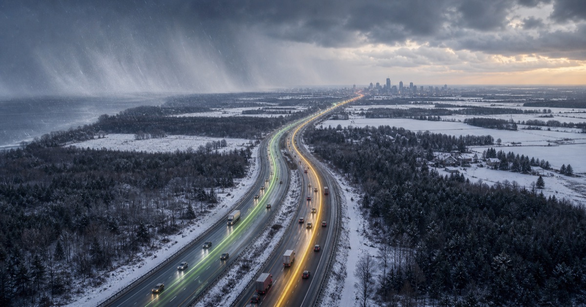
Toronto → Ottawa
Highway 401 and Highway 416
450 km · 4.5 hours
Seattle → Spokane
I-90 over Snoqualmie Pass
451 km · 4.5 hours
Montreal → Mont-Tremblant
Autoroute 15 into the Laurentians
135 km · 1.75 hoursiOS
DriveWindow for iPhone and iPad
Use the app for live route planning, saved trips, reminders, driving profiles, sharing, and Calendar export.
Download on the App Store